- Charts, publications and terms.
- Basic terms, Chart overview, Introduction to chart datum and depths.
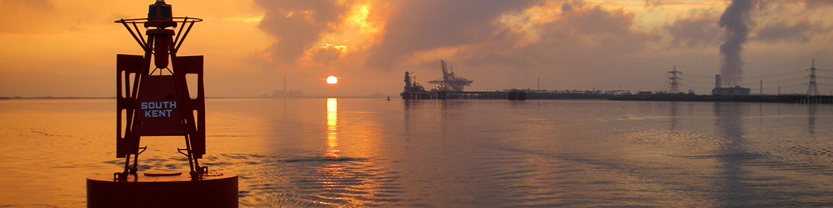
- Buoyage. Lateral buoys. Cardinal buoys. Where to find information.
- Navigation – Plotting a position, Measuring distance and bearing, Position fix, Heading
- Safety – Safety equipment – personal and boat, Safety procedures, Safety briefing, Radio Communication, engine checks, rescue procedures.
- Anchoring – where and how to anchor.
- Tides – Tidal streams and Tidal Heights
- Electronic navigation – GPS terminology and use, use of waypoints.
- Rules of the road – Risk of collision, Who gives way.
- Weather forecasts – Sources of information, terminology.
- Pilotage – Harbour information, Transits, Pilotage plans.
- Passage planning including SOLAS V requirements
Essential Navigation and Seamanship Course Syllabus
“
![]()
![]()
Copyright © 2024 Elite Sailing in Chatham, Kent, near London, All rights reserved.
Elite Sailing is a Trading Name of Allan Yachting Limited
Website Design by madcreative.